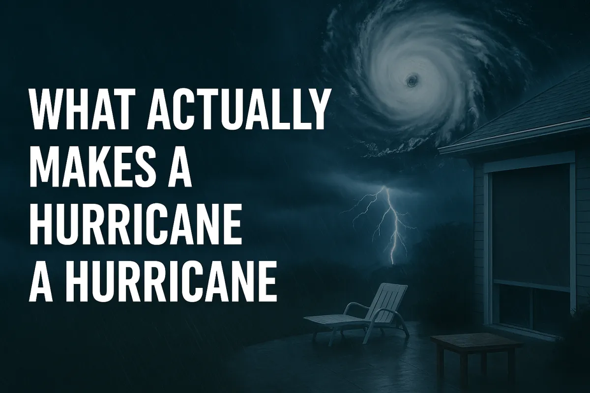
What Makes a Hurricane:
What Actually Makes a Hurricane a Hurricane
The ocean breathes.
Warm water rises into cooler air. Moisture condenses. Energy releases. And somewhere over tropical waters, the atmosphere begins to spin.
Most of the time, nothing comes of it. A cluster of thunderstorms. A tropical wave that drifts west and dies. But sometimes—under the right conditions, in the right place, at the right moment—something else happens.
The spin tightens. The pressure drops. The winds organize themselves into bands that spiral inward, feeding on warmth and moisture like fuel. What started as scattered storms becomes something unified. Something with structure. Something with purpose.
A hurricane is born.
More Than Just Wind
Ask most people what makes a hurricane dangerous, and they'll tell you about the wind. And they're not wrong—sustained winds of 74 miles per hour or higher can tear roofs from homes, snap power lines, and turn everyday objects into projectiles. But wind is only part of the story.
A hurricane is a heat engine. It pulls energy from warm ocean water and converts it into motion—spinning faster, growing stronger, feeding on itself as long as conditions allow. The warmer the water, the more fuel it has. The less wind shear in the atmosphere, the better it can organize. Given enough time and the right environment, a hurricane can become one of nature's most powerful forces.
But here's what makes them truly dangerous: they're not just wind machines. They're water machines too.
The Anatomy of Destruction
Every hurricane has the same basic structure. At its center sits the eye—a calm, clear column where winds drop and skies open. It's an eerie place, deceptively peaceful, surrounded by the eyewall where the storm's strongest winds rage.
Beyond the eyewall, rainbands spiral outward for hundreds of miles. These aren't gentle showers. They're training bands of intense rainfall, sometimes producing their own tornadoes, dumping water faster than the ground can absorb it.
And beneath it all, the storm pushes against the ocean itself. Wind-driven waves pile up against the coast. Water has nowhere to go but inland. This is storm surge—the deadliest part of any hurricane. Not the wind. The water.
According to the National Hurricane Center, hurricanes form when several critical ingredients come together: warm ocean water at least 80°F (26.5°C), moist air, low wind shear, and a pre-existing weather disturbance. NOAA research shows that these storms pull heat energy from tropical waters, converting it into the massive power that can equal half the electrical generating capacity of the entire world during a single storm.
Why the Categories Matter
The Saffir-Simpson Hurricane Wind Scale divides hurricanes into five categories based on maximum sustained wind speed. Developed in 1971 by civil engineer Herbert Saffir and meteorologist Robert Simpson, the scale provides a framework for understanding storm intensity. Category 1 starts at 74 mph. Category 5 begins at 157 mph and has no upper limit.
But these categories aren't just numbers on a chart. They're thresholds of damage. Markers that separate inconvenience from danger, danger from devastation, devastation from catastrophe.
A Category 1 storm will snap tree branches and damage roof shingles. A Category 5 will level entire neighborhoods and make areas uninhabitable for months.
It's worth noting that the scale has limitations. According to the National Park Service, the tragic example of Hurricane Ike in 2008 illustrates this well—the storm weakened to Category 2 based on wind speed as it approached Texas, leading some residents to stay home. But Ike produced storm surge typical of a Category 4 or 5 hurricane, resulting in 112 deaths. This is why understanding what each category means—and recognizing that storm surge and flooding often pose greater threats than wind—becomes crucial for survival.
Understanding these categories—really understanding what each one means for your home, your family, your community—is the difference between preparing adequately and learning hard lessons you can't afford to learn.
What This Series Will Cover
Over the next several posts, we're going to walk through each hurricane category in detail. Not just the wind speeds, but what those speeds actually do. What damage looks like at each level. What protection you need. What mistakes people make.
We'll start with Category 1—the storms people too often underestimate—and work our way up through the scale. Then we'll go beyond the categories themselves to talk about the dangers that wind speed doesn't capture: storm surge, inland flooding, tornadoes, and the compound effects that make some storms far more deadly than their category suggests.
Because here's the truth: the better you understand these storms, the better you can prepare for them. And preparation—real, informed preparation—saves lives.
The First Lesson
Hurricanes aren't random acts of chaos. They're organized systems following predictable patterns and physical laws. They have structure. They have behavior. They have limits.
And they have weaknesses.
The more you learn about how they work, the less frightening they become. Not because they're less dangerous—they're not—but because you know what you're dealing with. You know what to expect. You know how to respond.
That's what this series is about. Knowledge that leads to action. Understanding that leads to preparation. Information that, when the next storm spins up in the Atlantic, keeps you ahead of it instead of behind it.
Let's begin.
Next in the series: Category 1: The Deceptive Beginning
Additional Resources:
National Hurricane Center - Real-time storm tracking and official forecasts
NOAA Hurricane Research - Educational resources and hurricane science
Ready.gov Hurricanes - Federal emergency preparedness guidance